UN
5 Higher Gate
£ 123,000
Description
We don't have a Description for this property.
- Bedrooms
- 3
- Bathrooms
- 0
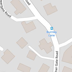
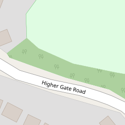

Leaflet © OpenStreetMap contributors
The heatmap indicates the level of crime in the area. The color of the heatmap indicates the crime severity and recency.
Metrics Year-on-Year
- Crime Rate
- 12.00 %Unchanged by 0.00 %
from 12.00 %
Nearby Schools
| Name | Type | Ofsted | Distance |
|---|---|---|---|
| Huncoat Primary School & Children'S Centre | Children's Centre | 0.37 KM | |
| Accrington Peel Park Primary School | Foundation School | Outstanding | 2.20 KM |
| St Anne'S And St Joseph'S Roman Catholic Primary School | Voluntary Aided School | Requires improvement | 2.64 KM |
| Accrington Benjamin Hargreaves Voluntary Aided Church Of England Primary School | Voluntary Aided School | Good | 2.67 KM |
| Hapton Church Of England/Methodist Primary School | Voluntary Controlled School | Good | 2.70 KM |
Images
Nearby Streets
| Name | Average Price | Average Sqft | Distance |
|---|---|---|---|
| Meadow Close | £ 350,000 | 0 | 0.00 KM |
| Wedgewood Road | £ 0 | 0 | 0.00 KM |
| Enfield Close | £ 65,000 | 0 | 0.00 KM |
| Enfield Road | £ 0 | 0 | 0.00 KM |
| Birch Close | £ 0 | 0 | 0.00 KM |
Nearby Transport
| Name | NLC | TLC | Distance |
|---|---|---|---|
| Huncoat | 2558 | HCT | 0.93 KM |
| Hapton | 2557 | HPN | 2.81 KM |
| Accrington | 2552 | ACR | 3.83 KM |
| Church And Oswaldtwistle | 2556 | CTW | 6.12 KM |
| Rose Grove | 2722 | RSG | 6.51 KM |
Nearby Listings
| Address | Price | Type | Score | Distance |
|---|---|---|---|---|
| Vale Court, Huncoat, Accrington | £ 215,000 | BUY | 7 / 10 | 0.15 KM |
| Lynwood Road, Accrington, Lancashire, BB5 | £ 324,950 | BUY | Unknown | 0.17 KM |
| Meadow Close, Huncoat, Accrington | £ 350,000 | BUY | 6 / 10 | 0.29 KM |
| Woodside Road, Accrington | £ 240,000 | BUY | 7 / 10 | 0.29 KM |
| Wedgewood Road, Accrington | £ 260,000 | BUY | 6 / 10 | 0.32 KM |
Nearby Properties
| Address | Price | Distance |
|---|---|---|
| 4 Higher Gate | £ 75,000 | 0.00 KM |
| Lower Hill Barn | £ 245,500 | 0.00 KM |
| 5 Higher Gate | £ 123,000 | 0.00 KM |
| 1 Bank Terrace | £ 100,000 | 0.07 KM |
| 6 Eaves Close | £ 157,000 | 0.13 KM |